Major knowledge gaps along Antarctica’s coast are now limiting the accuracy of global sea level rise projections, according to a comprehensive scientific review published by the Scientific Committee on Antarctic Research (SCAR). The paper, recently released in the American Geophysical Union’s Reviews of Geophysics, synthesizes current understanding of ice, ocean, atmosphere, and solid Earth interactions in the Antarctic coastal zone.
The review involved 80 scientists from 17 countries across glaciology, oceanography, geophysics, and atmospheric science, coordinated through SCAR’s RINGS Action Group. The group is also endorsed by the Council of Managers of National Antarctic Programs (COMNAP), which provides logistics knowledge for survey planning and coordinates support from national Antarctic programs.
Dr. Kenichi Matsuoka, first author and chair of the RINGS Action Group at the Norwegian Polar Institute, emphasized the coastal zone’s critical role: “Antarctica’s coastal zone is where ocean, ice, atmosphere, and the underlying bed interact—making it central to predicting future sea level rise. Yet limited observations in this region leave critical gaps in understanding.”
Missing bedrock data undermines models
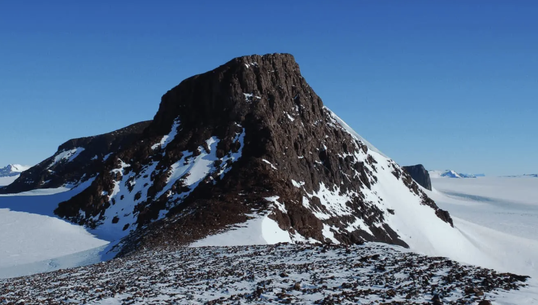
The review identifies persistent gaps in direct observations of coastal bed topography and sub-ice shelf cavities. While satellite data can measure ice motion and surface change, it cannot observe bedrock beneath the ice. This limitation is critical because ice sheet models are highly sensitive to coastal conditions, and even advanced models produce unreliable results when this data is missing or poorly constrained.
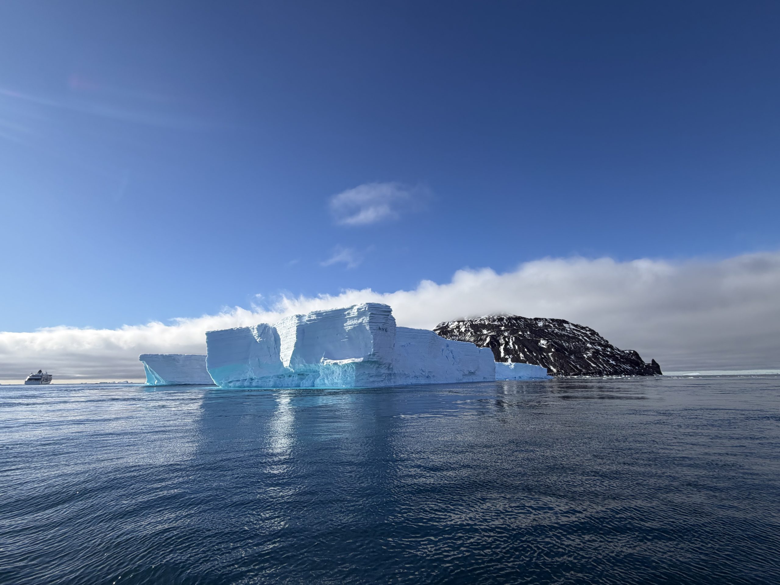
The Antarctic coastal zone functions as a tightly coupled system where grounded ice meets the ocean. Processes at the grounding zone—where ice lifts off the bed and begins to float—can regulate ice discharge or trigger feedbacks that accelerate ice loss. Observations over recent decades show Antarctic mass loss has increased, driven primarily by ice-ocean interactions rather than surface melting alone.
International coordination essential
Because no single nation can achieve comprehensive coastal coverage alone, the authors stress that international coordination is essential to avoid duplicating effort or leaving gaps. The paper provides a framework to support coordinating RINGS activities under SCAR and COMNAP, aiming to build more comprehensive datasets for improved sea level projections. Matsuoka noted that such coordinated efforts could serve as a foundation for the next International Polar Year in 2032-33.
Source: SCAR